
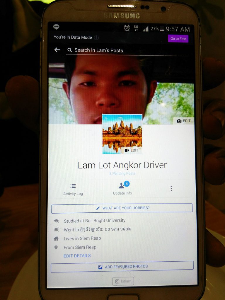
During our short trip to Siem Reap to marvel at the spectacular temples in the Angkor complex – Angkor Wat is just the centerpiece of this massive Khmer kingdom – we learned not only about the ancient past but also how young Cambodians look to the future. Thanks to our young ‘tuk-tuk‘ driver, Lam Lot, and the universality of the English language.
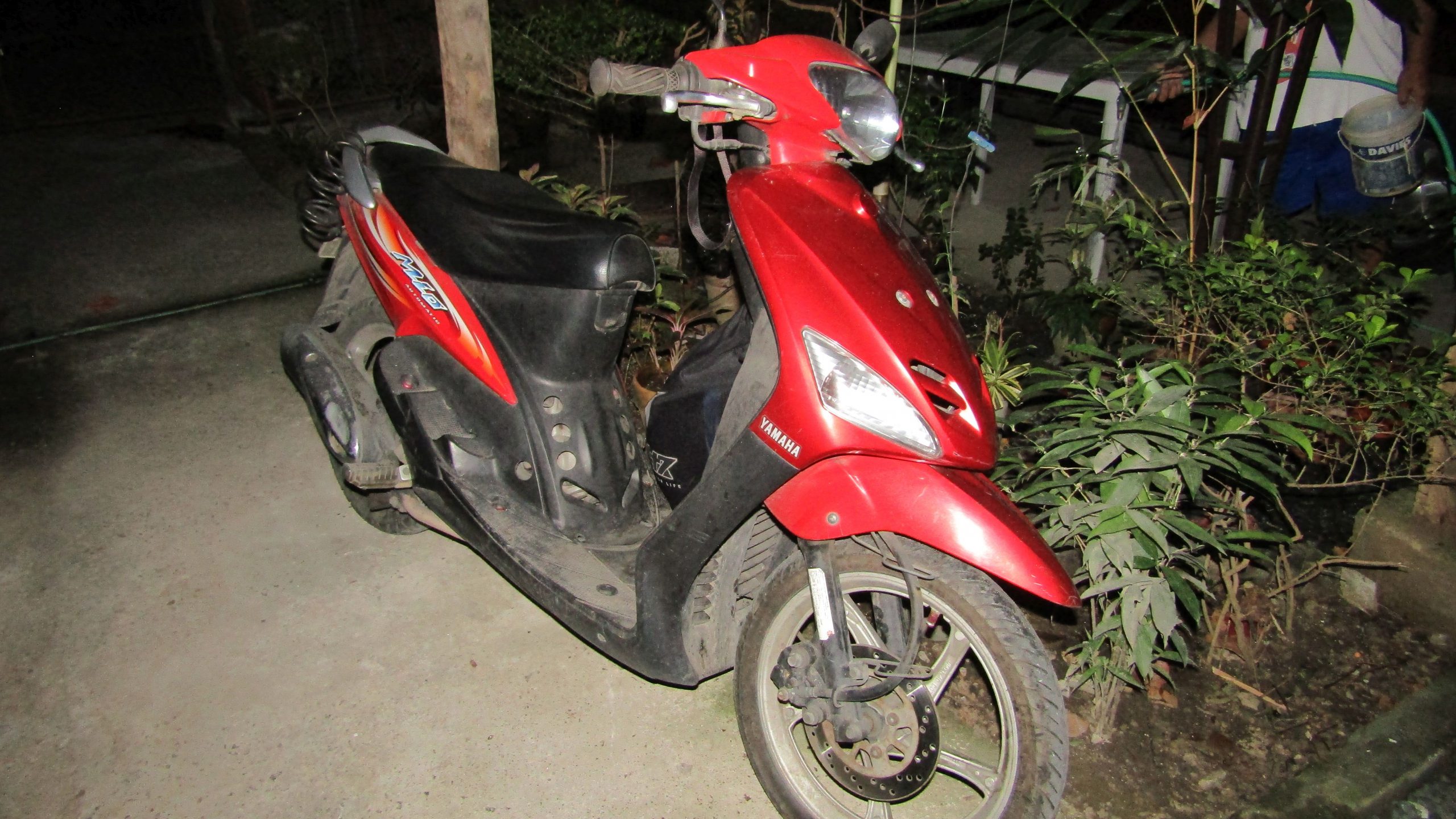
Aboard his black-colored cart with that distinctive purple seat covers, pulled by a 125 cc. motorcycle, he informed us that he had invested approximately US$1,450 ($550 for the cart and $900 for a popular Japanese-brand motorcycle) in his contraption after leaving his all-around job at a hotel that paid him US$100 per month.
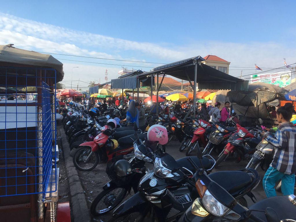
Taxis are scarce, especially in the outskirts of downtown Siem Reap, making tuk-tuks the most convenient way to get around the city. Although shops are abundant that rent out motorcycles, scooters, ATVs, and bikes, you’re on your own to figure out your way around.
Educated by Buddhist monks, Lam Lot is the epitome of the new breed of young Cambodians who are determined not only to forget the grim, yet not-so-distant past and focus on the present, but are also willing to embrace new technologies.
During the Pol Pot regime, being an intellectual meant the death sentence. These days, thanks to the Internet and the tourism boom, young Cambodians are increasingly aware of what’s happening in and outside their country. They are also willing to take the lead in propelling their country forward.
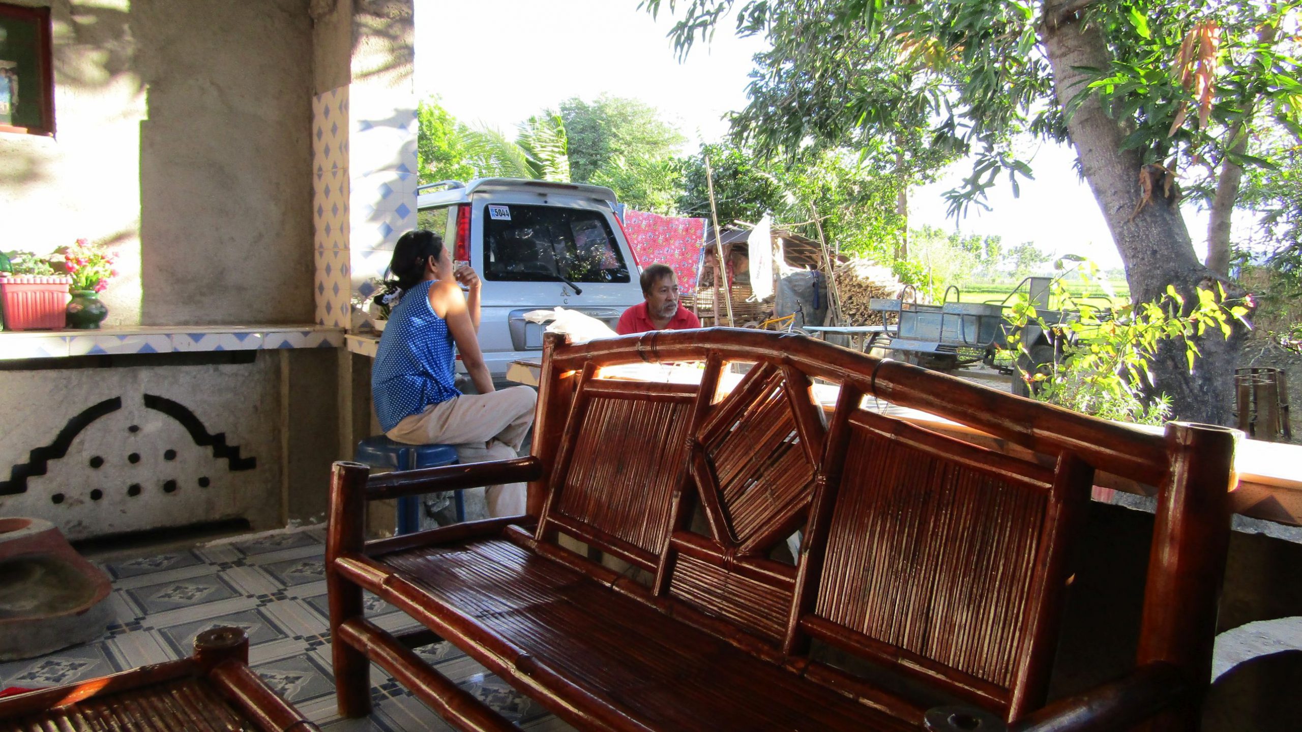
Lot, who preferred to be called by that name, is employed by the hotel (Sekla Villa Angkor) where we stayed, which has a stable of about 4 or 5 tuk-tuk drivers to transport guests around for free as a marketing ploy.
We got endeared to him by his persistence in conversing with us in English, although we had to ‘cup our ears’ to his mouth for us to comprehend what he meant.
Accompanied by hand gestures, we were able to convey most of what we wanted to accomplish during our city tour. He also refused to accept our tips (but we persisted) for the trip from the airport to our hotel and informed us (yes, almost scolded us) that “everything was included in the hotel deal.”
Before we headed to our room, we paid for the “Grand Circle Tour” ($5) and the “Sunset Viewing” ($10) at one of the temples along the way, but it made us wonder why the former didn’t already include the latter. We also reminded the young lady receptionist that we wanted the same tuk-tuk driver who brought us in.
The next morning, immediately after we had our breakfasts, Lot greeted us with his sheepish smile and provided us with an overview of the Grand Circle Tour of the Angkor complex using a map that he pulled out from the canopy of his tuk-tuk. He had also brought a cooler, which he filled with ice and several bottles of water.
Except for our lodging, we had done almost no research about the Angkor complex. We all thought that visiting Angkor Wat was simply a matter of seeing another UNESCO World Heritage site in a couple of hours, taking a few pictures, heading back to our hotel to rest, and then picking another interesting spot to visit in the city. How wrong we were.
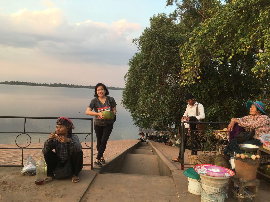
Siem Reap, despite its eclectic blend of the old and new, its provincial and small-town charm, had already instilled a mixed feeling of excitement and sadness inside me yesterday after I saw piles of garbage strewn all over the place, just a few miles from the airport and within the city proper.
A small creek, floating with food take-out boxes and an assortment of plastic debris, nearby our hotel, didn’t help to contradict that sadness — that, sometimes, borders on outright disgust.
Soon, the narrow inner roads gave way to broader, cemented roads, where, from a distance, we could see a cluster of tall, white-colored structures with bright red roofs — the Angkor Complex Visitors Center.
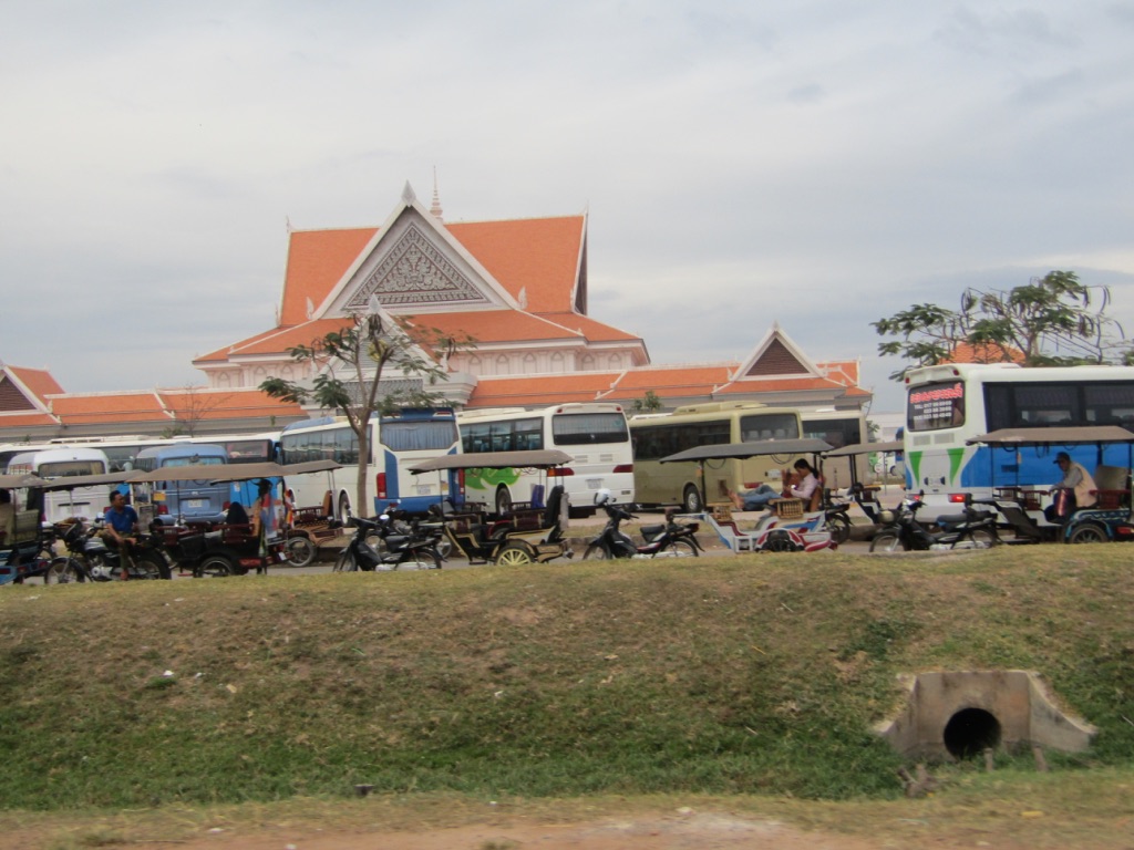
Lot told us to get our tickets inside and pointed to a spot where he would meet us amidst the pandemonium of people — tourists who had poured out from numerous tour buses, cars, tuk-tuks, scooters, bicycles, peddlers, and tour guides– in the parking lot.
He had also explained to us along the way that ticket prices were increased from US$37 for a single-day entry (usually $20). The special “buy 2 days and get the 3rd day free” offer is now $62 (usually $40) to take advantage of the influx of Chinese tourists visiting Cambodia for their holidays, as it coincides with their Lunar New Year.
The US dollar is the unofficial and widely accepted currency in the country, although locals will still gladly take Cambodian riels. Most shops will either give your change in riel or dollars, depending on what’s available.
Now armed with our 3-day passes, we drove for another mile or so until we reached a checkpoint manned by two uniformed personnel who verified our faces with the pictures on the passes and punched the date we entered, located at the back of our tickets.
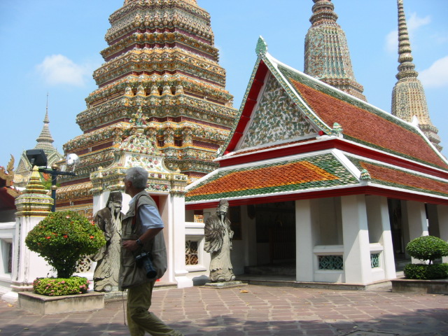
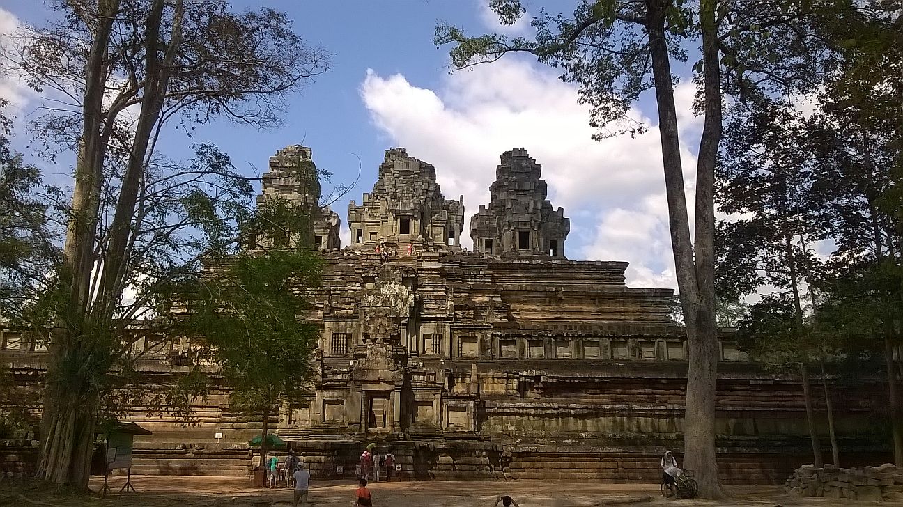
It was after we made a short right turn towards our first stop in our grand circle tour that we all realized how massive the Angkor complex was. This is going to be a very long day.
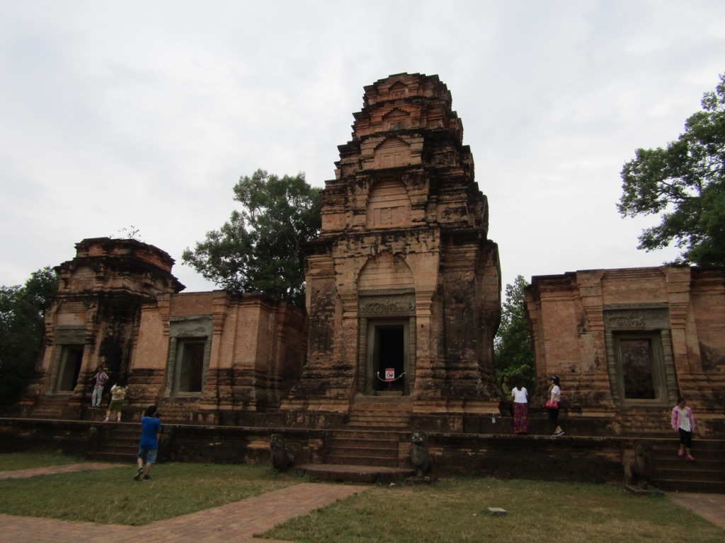
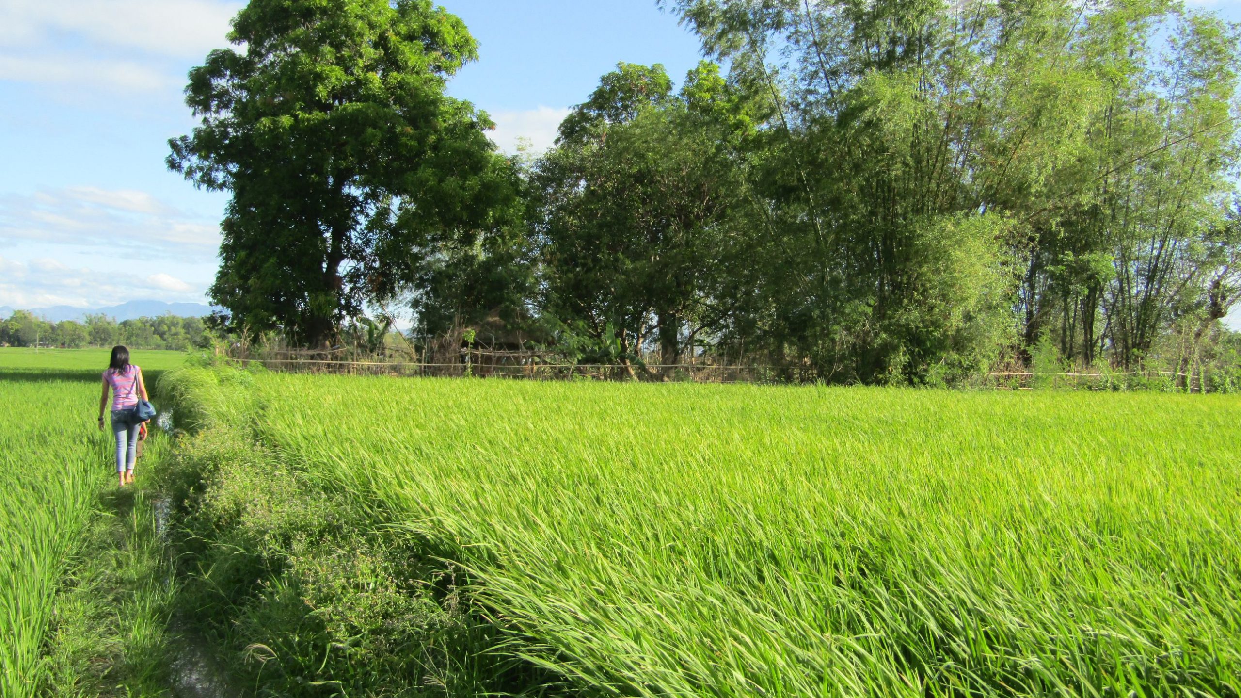
The temples in the almost 16-mile-long ‘grand circle tour’ not only mesmerized, tantalized, and dazzled our eyes but also made our feet very sore. Unfortunately, I lost my custom-made foot orthosis during the flight to Manila (we traveled to Siem Reap via Hanoi from Manila), and the off-the-shelf foot support I used provided little relief.
There were several occasions during our 3-day sorties inside the Angkor complex that I preferred to stay in the tuk-tuk with Lot due to the constant pain in my left ankle. At the same time, Ruby and her sister, Rosana, excitedly clambered up the steps of the taller stone towers.
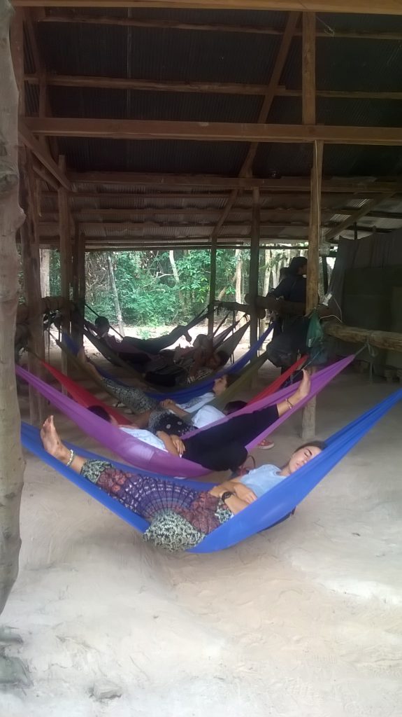
By past noon, we found ourselves sleeping in a row of hammocks beside a roadside eatery near Neak Pean, an artificial island with a Buddhist temple at its center. Most eateries inside the complex -as well as the tuk-tuks– have hammocks that provide a quick way to take a nap.
We were so tired after we emerged from the west gate of the next temple, Preah Khan, that we had the comforts of the hotel bed in the back of our heads as soon as we boarded Lot’s tuk-tuk once again.
The Bayon was so big that we all decided to take a few photos aboard the tuk-tuk, revisit the place the following day, and head back to the hotel instead. Not after we passed by a memorial for people who died in the ‘killing fields’ during the Pol Pot regime.
Before we headed to our room, Lot informed us that he would take us to a massage parlor – they’re all over the city – to soothe our tired legs and bodies, as well as a night tour of downtown Siem Reap. We had to do this impromptu trip in a jiffy as we still had the “sunrise viewing” of Angkor Wat that required us to be up by 4:30 AM the next day.
If there’s a compelling reason to return to Siem Reap, it would be those massage parlors. Not only were the massages ridiculously cheap -as low as $1.50 for an hour-long foot massage- but they also served as the perfect way to end your very, very tiring day inside the ancient complex.
You would do your conscience a big favor when you tip well those masseuses and masseurs, as we all agreed that those low rates straddle the thin line between slave labor and gainful employment.
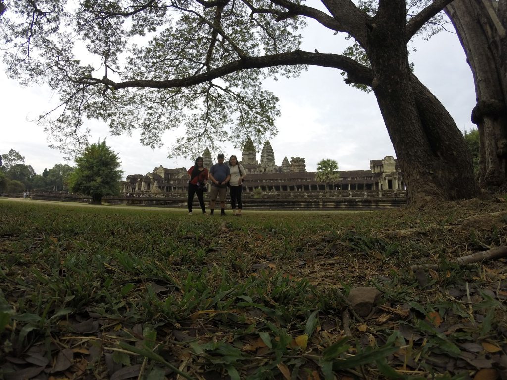
Very early the following morning, after we picked up our breakfasts in paper bags from the receptionist, Lot motored us to a different route for our dawn viewing of the magnificent Angkor Wat—the main reason for our trip to Cambodia.
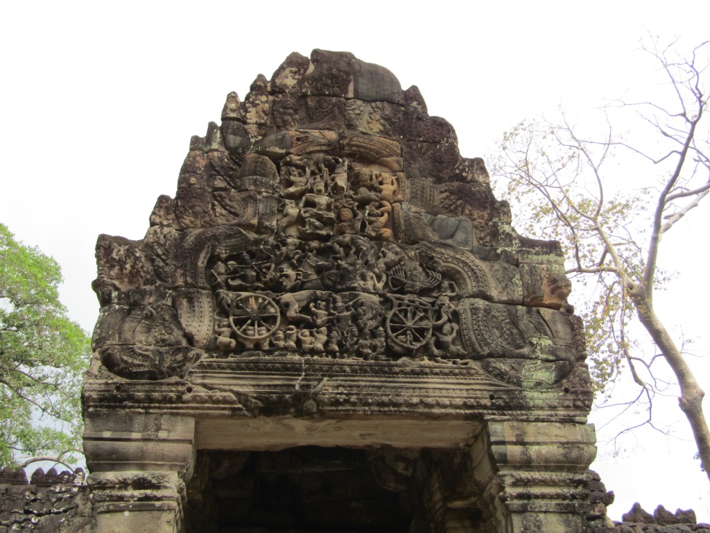
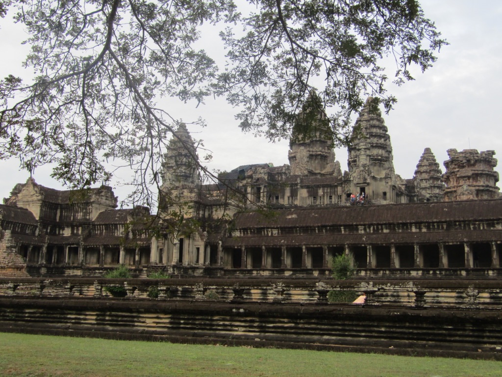
We eventually spent almost half a day inside the splendid Angkor Wat, whose walls, lintels, nooks, and crevices were adorned by some of the most fascinating carvings and inscriptions the human race had ever seen. We also managed to venture as far as the outer, eastern portion of the complex.
For the Khmers, life goes on, content with the knowledge that the temples will remain with them for as long as they live. For us visitors, we can only enjoy every moment of this special opportunity to marvel at one of mankind’s most remarkable creations.
Later on, he showed us another part of downtown that’s popular among ex-pats and had lunch at a fast-food joint that featured an eclectic mix of just about everything on their menu.

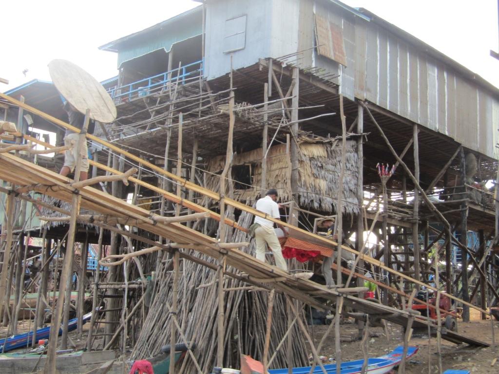
Afterward, Lot recommended that we visit the fishing village of Kompong Phluk, which took the better part of 1.5 hours for the one-way, back-breaking trip on mostly unsealed roads.
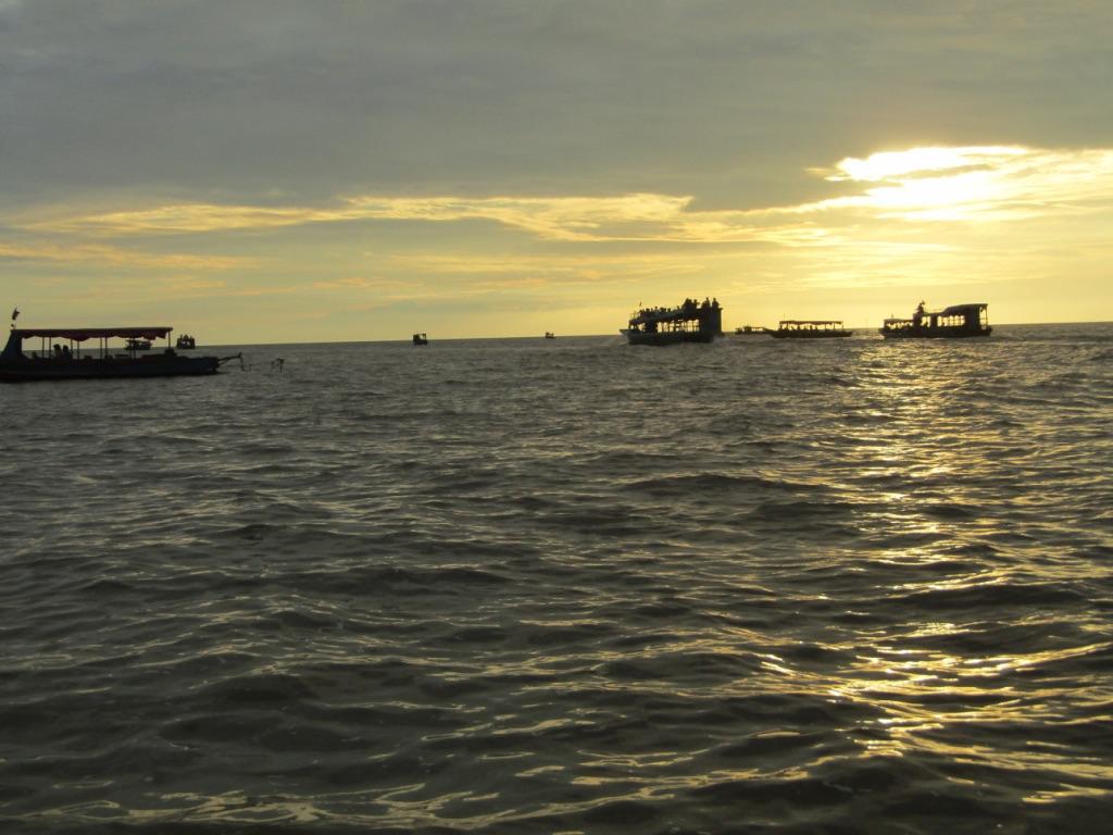
It was almost like a scene from a “Mad Max” movie as our boat meandered along the murky Tonlé Sap river, whose stench competed with our curiosity for any marine or human activities on this surreal backdrop.
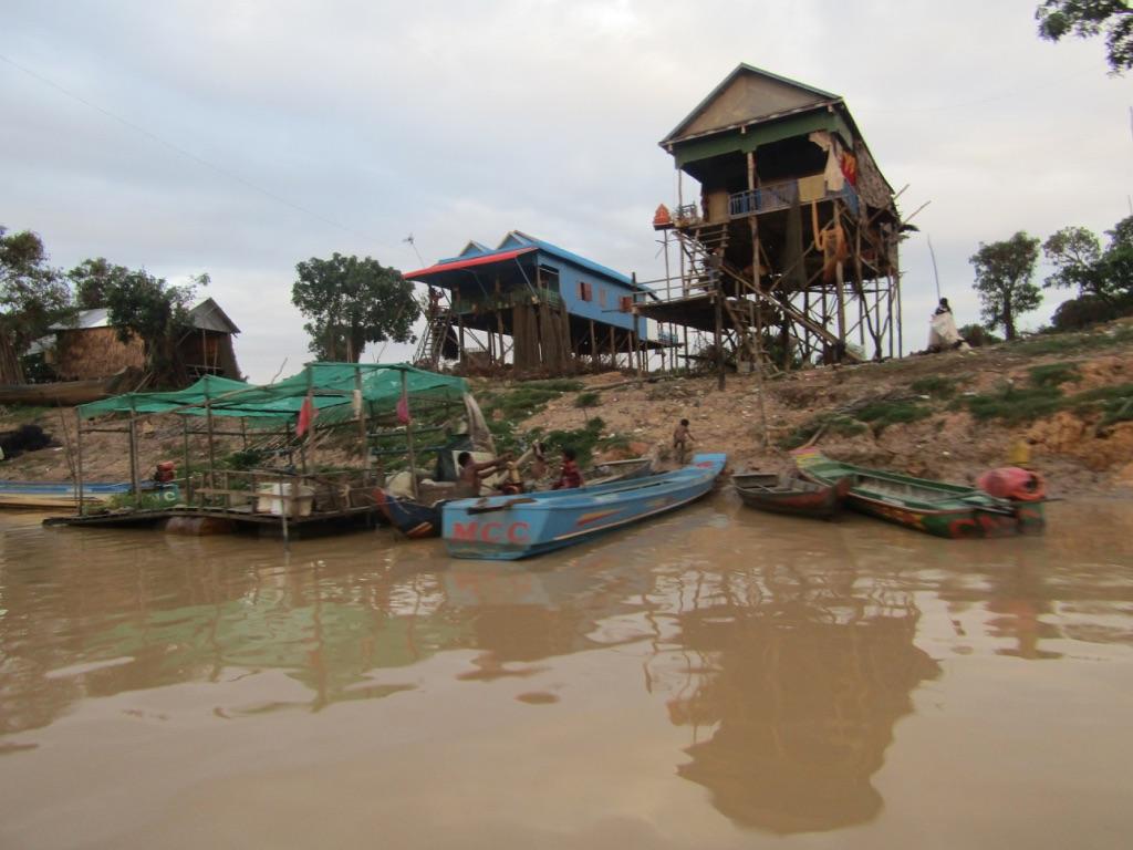
The Tonlé Sap River ends at a lake of the same name and connects it to the 7th-longest river in Asia, the Mekong. Just like the river, this vast lake had suffered significant sedimentation due to the exploitation of its resources. A patina of brown seems to tint the water as the sun’s reflection bounces from the bottom towards the surface.
On the way back to our hotel, Lot would point out to us the dusty road that leads to his parents’ house, where he and his young wife stay. He pays for the family’s food and utility expenses. A few more miles on the same highway, he would point to a grocery store owned by a relative of his wife, where she helps out.
On our last day in Siem Reap, Lot would take us to the old market early in the morning, where we bought a suitcase for all our extra stuff since we arrived in Hanoi exactly a week ago. He also helped us get discounts for all our souvenirs in the tourist market near the very popular night attraction in downtown, ‘ Pub Street’.
After we packed all our bags and turned them over to the front desk for safekeeping, we checked out of our hotel and allowed Lot to decide how to spend the remaining eight or so hours we had to spare before our late evening flight to Puerto Princesa in the Philippines.
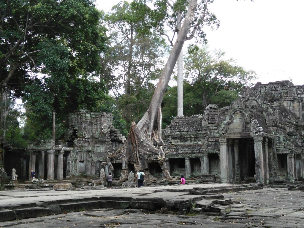
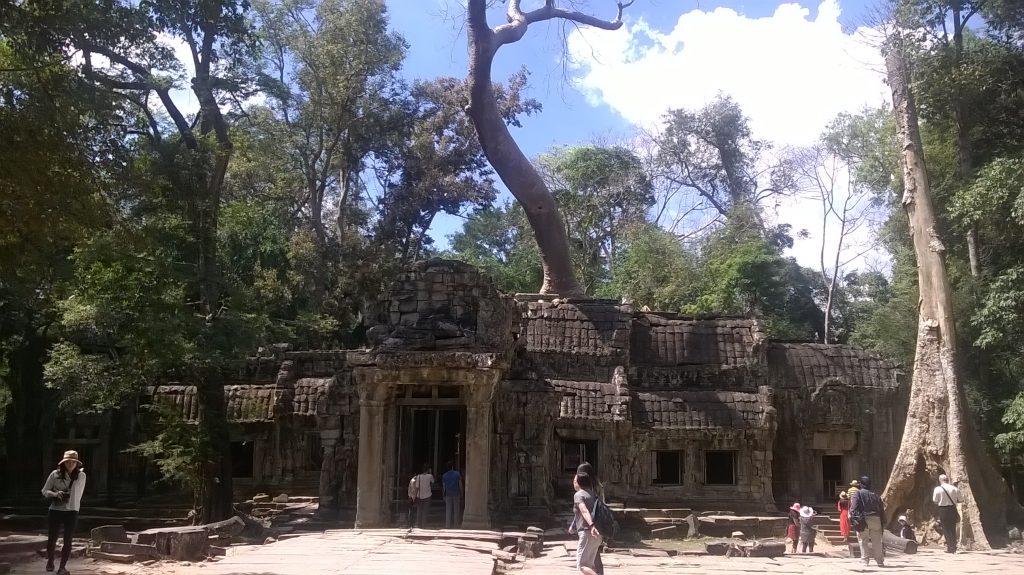
Without wasting any time, he drove us to the temples in Ta Phrom, a much smaller complex located east of the Bayon. Because of the humidity, I decided to stay aboard his tuk-tuk while I peruse my newly-purchased guide book, “Ancient Angkor” by Michael Freeman and Claude Jacques.
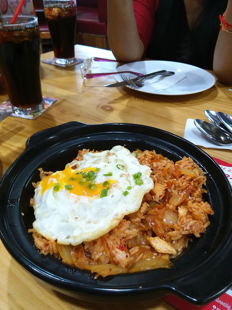
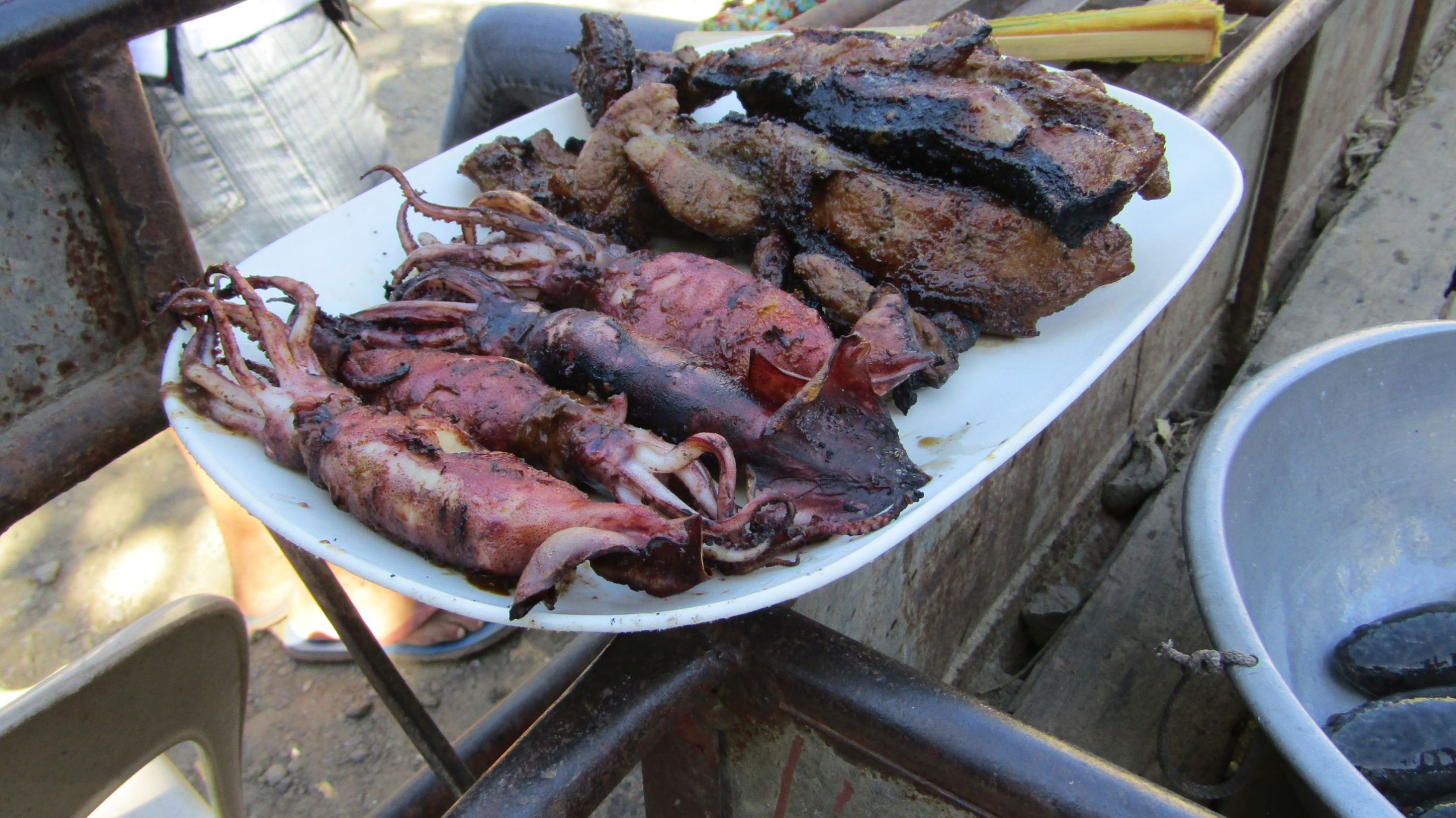
While we waited for the sisters, we had our late lunch at a spot where locals and tuk-tuk drivers eat – a pair of tourists on backpacks was also present – and enjoyed fried chicken wings, fish, and sautéed mustard greens, accompanied by a generous portion of steamed rice.
After we had picked up the sisters, we passed by the Bayon again, hoping to relax in one of its many open spaces near the water, as the noonday heat had significantly increased the humidity.
He suggested that we buy some snacks and drinks once outside the Angkor complex, and suggested that we proceed to a “picnic spot where he often goes when he and his wife were still sweethearts“.
The place turned out to be West Baray, a man-made lake or reservoir constructed in the 11th century and a crucial component of the Angkor complex during the heyday of the Khmer Empire.
Some construction is underway on the artificial island, the West Mebon, where a magnificent bronze Vishnu still stands, located in the middle of this vast reservoir that covers an area of approximately 1,760 hectares (4,349 acres).
It’s very popular with locals who go there to picnic, take naps, or take a quick dip in its murky, brown water. There are no gates, either, where you pay a fee up front to enter.
Lot spoke to an elderly woman, who then proceeded to find a spot for the four (4) of us amongst the numerous huts that were on stilts.
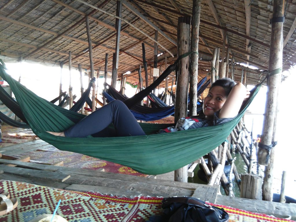
Each hut seems to have a few hammocks randomly strung on it, but we found it more refreshing to lie on the mats strewn on the bamboo floor.
It was in this rustic setting, after we had some snacks, that I pondered long and hard on the calm waters of the West Baray. My thoughts drifted back to the days when I was still a young kid growing up in the sleepy town of Baclaran.
Manila Bay was my West Baray, and the nearby Redemptorist Church (Our Lady of Perpetual Help), although not afloat in a body of water, could have been the West Mebon.
The noonday heat had reached its peak, and a slight breeze from the north lulled the three of us into a slumber while Lam Lot borrowed a piece of cloth from the elderly woman as he prepared to take a swim.
In my brief dream, various nostalgic moments rolled through my mind. Still, they were not too vivid enough for me to recollect when I woke up smiling afterward – except for one:
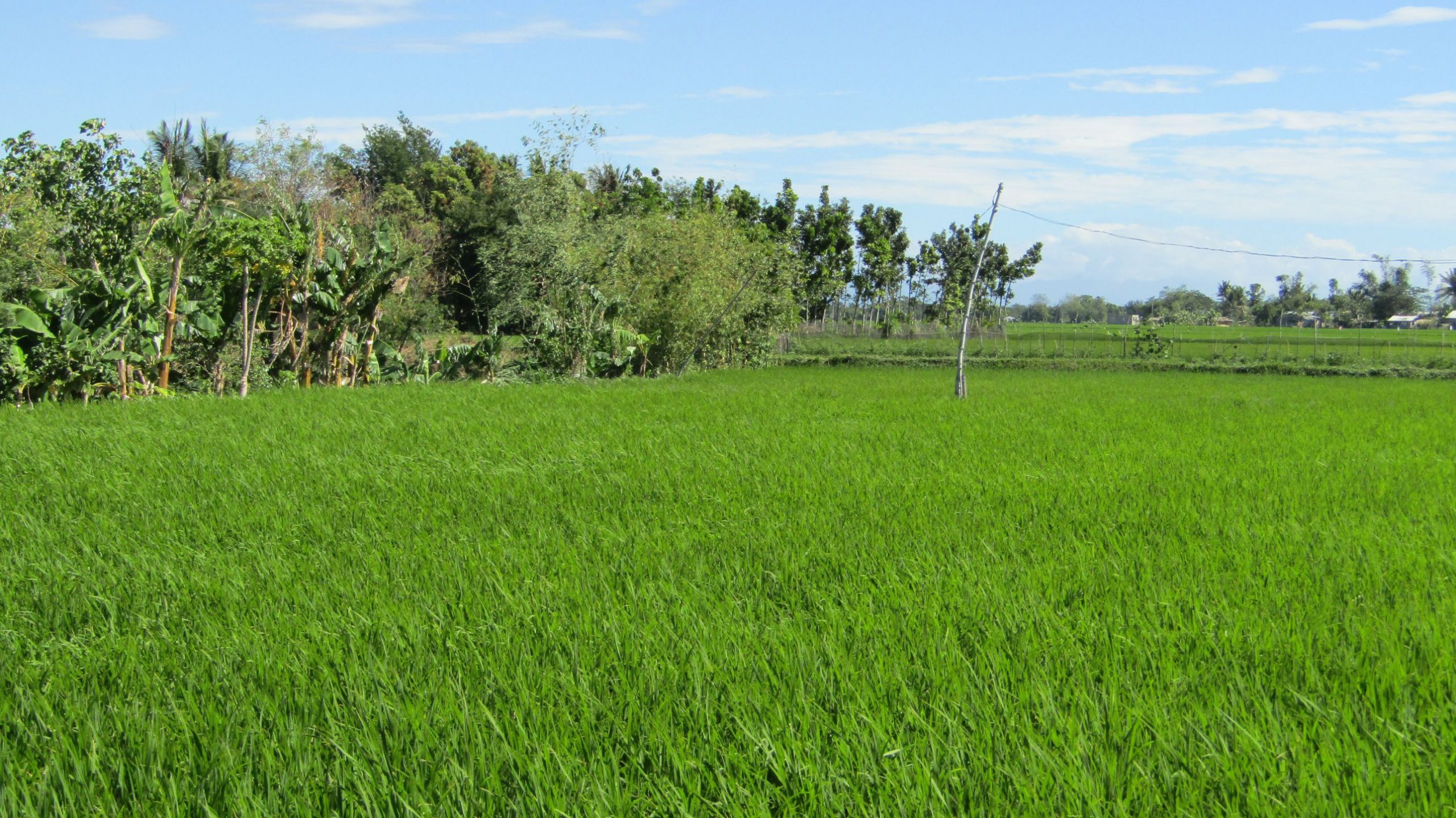
That I was walking along the grass-lined walkways inside the Angkor complex, where the Khmer people were all smiling at me on a quiet day, sometimes in those ancient days.


")


 in Cagbalete Island")


 farming in Cagbalete Island")
 in Cagbalete Island")


")


 Richmond-San Rafael Bridge, (2) Golden Gat...")